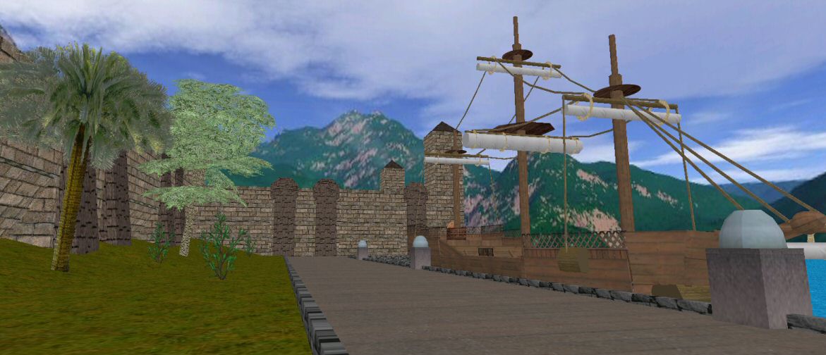
Ravous River
- Location: Southern SW Island
- District: Central SW City, Central District
- Coordinates: 2439S 3635E 0.190
- Length: ~200 coordinates
- Type: Saltwater
- Connects: Irenic Ocean to Palm Sea
Overview
The Ravous River is a short river in the southern area of SW Island that wraps around much of the northwestern coast of Hyokia Island. Nutin Pond can also be found along the Ravous.
The docks of Fort Masen outlet onto this river, which was used as a strategic buffer during the siege of Fort Masen by the Scarabia Kingdom in 1641.

